Latest On The Conservation Gateway
A well-managed and operational Conservation Gateway is in our future! Marketing, Conservation, and Science have partnered on a plan to rebuild the Gateway into the organization’s enterprise content management system (AEM), with a planned launch of a minimal viable product in early FY26. If you’re interested in learning more about the project, reach out to megan.sheehan@tnc.org for more info!
Page Content
| Data | Description | Access |
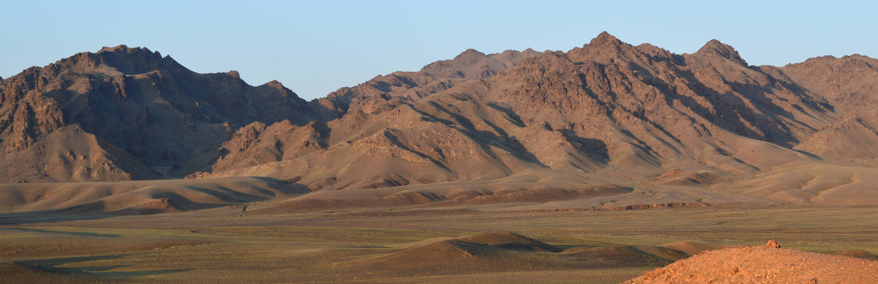
| Mongolia Gobi | Mongolia Gobi ERA Map Viewer is a web based mapping application which gives users the ability to display and access all spatial data created and used by TNC while developing ecoregional assessment for the region. |
Link |
| Global Development Risk Assessment (GDRA) Ver 1.0 | The GDRA Map Viewer is a web based mapping application giving users the ability to display and access all spatial data created by TNC to perform this assessment. |
Link |