The National Oceanic and Atmospheric Administration (NOAA), The Nature Conservancy (TNC), and the states of Maryland and Virginia are undertaking an effort to identify the most important habitats for protection and restoration in the waters of Chesapeake Bay. This project will focus on four distinct habitat types: oysters, wetlands, shorelines, and benthic. The objective is to develop a common spatial framework and clear prioritization of protection and restoration projects throughout the Bay. This will help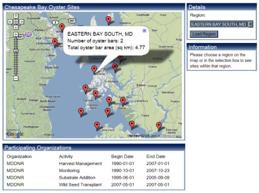 identify areas of overlap, allowing multiple restoration and conservation efforts to be consolidated, providing large ecological benefits for the same investment. In addition, it will identify areas of the Bay where permit reviews may be more or less complex due to the distribution fo Essential Fish Habitat.
This project will draw on similar existing spatial mapping data and tools, including Maryland's Coastal Atlas and Greenprint, Virginia's Coastal GEMS, NCBO's Oyster Data Tool, and the Army Corps of Engineers Master Plan for Oyster Restoration in Chesapeake Bay. While these other efforts portray spatially explicit data in a compelling way to inform the natural resource decision-making process, they neither inventory and analyze spatial data on a Bay-wide basis nor prioritize habitat restoration and conservation options.
Ideally, this work will foster targeted restoration and conservation projects of sufficient size such that clear benefits to the regional ecosystem will begin to emerge. Additionally, the effectiveness of multiple state and federal investments in Chesapeake Bay restoration and protection are enhanced with a spatial planning framework that better integrates efforts with each other and within larger ecosystem considerations.
Explicitly identifying priority regions of the Chesapeake Bay for their ecological values serves to broaden the perspective of what it takes to restore the Bay beyond just "pounds of pollution reduced". Successful coastal and marine spatial planning relies on effective data management and analysis and a decision support system that provides transparency and engages a diverse set of people in a process to protect and restore the Chesapeake Bay that best meet multiple societal objectives (e.g. shoreline development, fisheries production, aquaculture, and environmental conservation). Expert workgroups have been developed for each of the four habitat types addressed. The workgroups are helping identify existing data and pertinent research, define prioritization criteria for each habitat type that feed into a spatial model, and review model outputs to inform the overall effort. A project steering committee oversees these technical workgroups and helps coordinate workgroup products with each other.
Key questions:- What data and models are available to create a common spatial framework to prioritize habitat restoration and protection across the Chesapeake Bay?
- Can new information be developed with existing data to inform this prioritization, especially for habitats which have noe previously had focused attention?
- How do habitat values differ across Chesapeake Bay and how should that inform mitigation frameworks, and restoration/protection priorities?
- How can data and priorities be integrated and consolidated across habitats to foster targeted restoration and conservation projects of sufficient size that provide larger ecological benefits and benefit the regional ecosystem?
