Seagrass meadows provide valuable benefits for nature and people but are diminishing globally and locally, a result of intense pressure from human activities and environmental stressors. At the eastern end of Long Island Sound, the waters around Fishers Island harbor 96 percent of the enduring eelgrass (Zostera marina) ecosystem within New York State’s jurisdiction of the Sound and 24 percent of the eelgrass remaining Sound-wide. Among locally identified stressors at Fishers Island are impacts to eelgrass from boating related sources. To address this concern and ensure decision-makers have the science needed to designate seagrass management areas, in 2017, The Nature Conservancy collaborated with regional partners to survey the extent and condition of seagrass at Fishers Island and evaluate vessel use patterns implicated as threats to the resource.
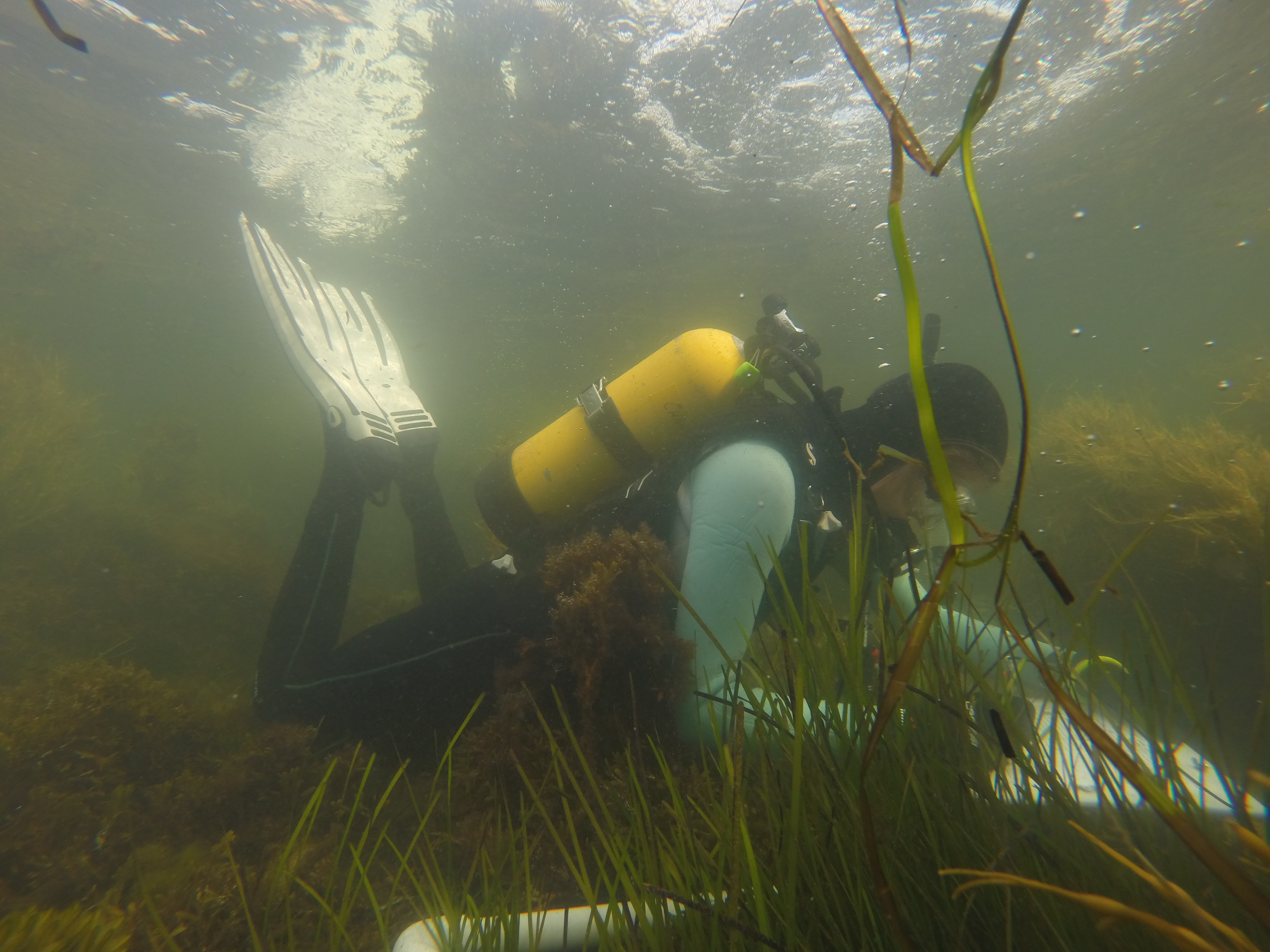
A benthic eelgrass survey, consisting of dives and underwater transects, captured considerable variation in plant height, percent cover, and bed edges at different sites, underscoring the importance of site characteristics and environmental conditions in determining eelgrass distribution. A comparison of the eelgrass bed edges measured at the site level in our survey with those mapped by the U.S. Fish and Wildlife Service’s Sound-wide survey showed that the edges were generally well aligned. Propeller scarring found during the benthic survey suggested there are also dock related impacts that remain to be further investigated.
Analysis of aerial survey data revealed most vessels observed were recreational boats, with the highest numbers recorded on weekend survey dates in July and August. Hotspots and areas of eelgrass habitat at greater risk from vessel activities include coastal waters adjacent to the Eighth Hole of the east end golf course, Flat Hammock, East Harbor, West Harbor, and Hay Harbor. At these locations, impacts to eelgrass are associated with boats anchoring close to shore or directly over eelgrass, boats transiting in shallow waters, boat wakes, and to a lesser extent, the siting of moorings. High vessel use in these areas reflects observations cited by local community members and demonstrates the value of including local knowledge in environmental problem identification and conservation management planning.
To protect eelgrass resources from potential boating-related impacts, management options and examples are discussed in the study – namely, boater education and outreach, zoning and designation of special management areas, and the use of conservation moorings. A combination of different strategies is likely needed with monitoring and adaptive management, essential to measuring and optimizing the success of any management plan.
See the link above right for the full report on these analyses or
click here.
