LANDFIRE Office Hour - An Ongoing Conversation
REGISTER | Join LANDFIRE experts on the last Wednesday of the month at 1 pm (ET). Get advice and solve problems.
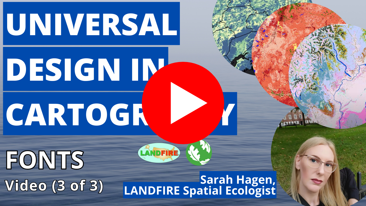
We are committed to supporting the integration of Universal Design and accessibility in our work. Sarah Hagen, Spatial Ecologist for the LANDFIRE Team has launched an accessibility series for cartographers. View the first of three videos below.
**********************************************************
Our support resources are designed to help users successfully apply LANDFIRE products.
Contact us directly if you do not find what you need.
Modifying LANDFIRE Geospatial Data for Local Applications provides an introduction to each of the LANDFIRE products and offers guidance on how to complete common modification tasks.
Reviewing & Modifying LANDFIRE Spatial Products offers an introduction to concepts, processes and tools that will allow users to review LANDFIRE spatial products and alter those products as needed for local application.
Guidebook on LANDFIRE fuels data acquisition, critique, modification, maintenance, and model calibration provides guidance on acquiring, critiquing, and editing geospatial fuels data as well as assembling a geospatial fuels team, model calibration, and maintaining geospatial data and documentation.
Reviewing & Modifying LANDFIRE Vegetation Dynamics Models guide provides an introduction to concepts, processes and tools that will allow users to review the vegetation models and accompanying descriptions and then alter them as needed for local application.
BpS Model Tutorials
1. If you are new to state-and-transition modeling or to ST-Sim we recommend that you begin with the tutorial
Understanding a LANDFIRE Model in St-Sim. This tutorial explains the basic components of a model in ST-Sim. A LANDFIRE model is incomplete without its description document -- learn
How to Link the BpS Model and Description.
2. The next step is to
Find a Specific BpS of interest in the LANDFIRE ST-Sim library. Not sure what BpS code you are looking for? Use our BpS Model Search spreadsheet. If you would like help understanding the BpS codes, read about
Deciphering the BpS Code.
3. If you plan to experiment with a model, you will want to
Copy and Paste a Model into its own library. Then, learn
How to Edit a Modelincluding adding or removing disturbances, changing probabilities and adding or removing classes.
4. Finally, you can
Run the Model and
Graph the Results. If your analysis involves models and spatial data, learn
How to Link the Model with the Spatial Data.
Spatial Data Tutorials
Updating LANDFIRE Fuels Data For Recent Wildfires This tutorial outlines a process for updating fuels geospatial data following wildfire.
How to Map Succession Classes (S-Classes) This tutorial demonstrates how to use LANDFIRE data to create an S-class map that can be locally calibrated.
Overlay Grids Using the "Combine" Function (5:13 min. video) This video demonstrates how to use the “combine” function in ArcGIS. Combining grids is useful for comparing datasets and a variety of other analyses.
Calculate the Area for Each Type Mapped in a Grid (4:50 min. video) This video demonstrates how to calculate the area mapped for each type in a grid in ArcGIS. Calculating the area can be part of a data review or analysis process.
Editing LANDFIRE Grid Attributes (5:43 min. video) This video demonstrates how to edit a grid attribute table in ArcGIS. Editing grid attribute tables is one way to modify data for local use.
Making a New Raster from an Existing Raster Attribute (5:48 min. video) This video demonstrates how to make a new raster from a field in an existing raster in ArcGIS. Once an existing raster has been edited, it is often helpful to make a new raster for further analysis or display purposes.
Downloading Data Tutorials
LANDFIRE Data Access Tool (LFDAT) (14:50 min. video) This live demonstration covers how to download, install and use the LANDFIRE data access tool to obtain LANDFIRE data.
LANDFIRE Data Distribution Site (14:26 min. video) This live demonstration covers how to view and download data from the LANDFIRE Data Distribution Site.
Vegetation Condition Class Tutorials
Introduction to Analyzing Ecosystem Health This tutorial explains two ways to explore ecosystem health or Vegetation Condition Class (VCC).
Review and Modify FRCC Mapping Tool Reference Conditions This tutorial provides a step-by-step guide on how to modify the FRCC Mapping Tool reference conditions table.
Convert a LANDFIRE Refresh BpS Grid to a BpS Group Grid The LANDFIRE Refresh 2001 and 2008 BpS grid requires pre-processing before use in the FRCC Mapping Tool if it is to be used with the LANDFIRE Refresh succession class grid.
FRCC Mapping Tool Demo Part 1 - Running the Tool (3:53 min. video) Part 1 of this 2-part series demonstrates running the FRCC Mapping Tool with LANDFIRE BpS and S-class grids to calculate and map Vegetation Departure and Vegetation Condition Class.
FRCC Mapping Tool Demo Part 2 - Reviewing Results (4:18 min. video) Part 2 of the 2-part series demonstrates reviewing the Vegetation Condition Class and Vegetation Departure outputs from the FRCC Mapping Tool.
LANDFIRE is used everywhere, whether in fire applications, in the classroom, or when solving ecosystem problems and meeting land management challeges. While listing reports and case studies is helpful, we choose to offer in-depth interviews with "super users" who have been developing and applying LF tools and data for years. The interviews have been featured in
LF postcards, and are
gathered for you here.
