WHO WE ARE
LANDFIRE — Landscape Fire and Resource Management Planning Tools — is an innovative program designed to create and periodically update comprehensive vegetation, fire and fuel characteristics data using a consistent process for the United States, including Alaska and Hawai'i.
LANDFIRE developed quantitative vegetation models and comprehensive ecological descriptions for all major vegetation systems in the US (Biophysical Settings, or BpS), and a suite of GIS tools that help landscape and resource managers make the most of these powerful products.
**************************************
Latest
News:
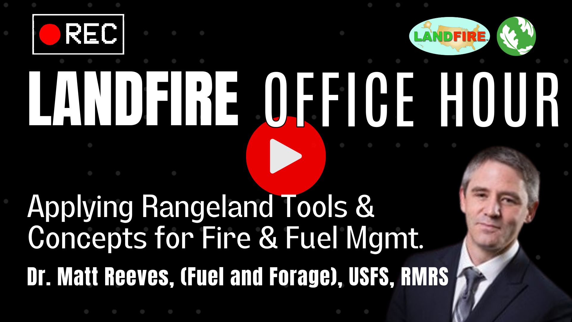
(INFORMAL) Open Office Hours - Drop in, Ask Questions, Get Help
REGISTER HERE | WATCH THE LATEST OFFICE HOUR BELOW

**************************************
Blog: Jim Smith muses on Landscape scale data: The LANDFIRE example
LANDFIRE on Conservation Gateway
This site is designed to present information that helps the user community understand LANDFIRE products and use them appropriately.
The full range of tools, data and resources are on the LANDFIRE Program web site. On Gateway you'll find news, reports, resource links, tutorials, guides, connections, and application stories.

The Connection Between
The Nature Conservancy and LANDFIRE
Jim Smith, TNC LANDFIRE Program Lead, describes how LANDFIRE helps the Conservancy advance conservation in North America. Jim summarizes the Program's history, its context within TNC, LF product advancements, and plans for the future.
Read the interview.
Applications: MORE than Fire

LANDFIRE's suite of tools, models and digital map layers -- the first complete, nationally consistent collection of resources with an ecological foundation -- are valuable resources for those working on land management issues, scenario planning and budgeting. For instance, models and spatial layers are used to
-
Develop statewide forest assessments
-
Analyze the impact of habitat fragmentation on bobcat populations
-
Look at how climate change could affect flora and fauna
-
Maintain habitat for viable populations of bighorn sheep
-
Establish cougar population viability
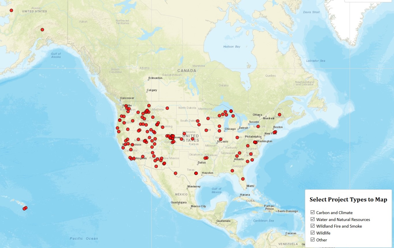
Click here
to visit LANDFIRE's Web-Hosted Application Map — the WHAM! — to read thumbnail sketches and gain access to related resources.
Click here to read
Super User interviews - in-depth conversations with practitioners who use the suite of LF products for various applications.
15 Years - and Counting - of LANDFIRE
In 2004 the Summer Olympics were held in Greece, the Spirit Rover landed on Mars, the Boston Red Sox won the World Series, and an important new program emerged from the increased concern about the number, severity, and size of wildland fires: LANDFIRE.
Over time, LF has evolved from a program focused mainly on wildfire into a dynamic collaboration that supports environmental compliance work across organization and landscape boundaries, whether applications are fire-related or not.
Click here to read our 15th birthday overview of the power, functionality, and impact of LF’s suite of data and tools, beginning with an impressive recognition, the Department of the Interior's "Environmental Dream Team" award.
CONNECTIONS
LANDFIRE Program home
LANDFIRE Program helpdesk
TNC-LANDFIRE e-mail
Follow us on
Twitter
LANDFIRE on YouTube
LANDFIRE on Wikipedia
TNC-LANDFIRE Team
Subscribe to LANDFIRE Brief (3-min monthly read)
