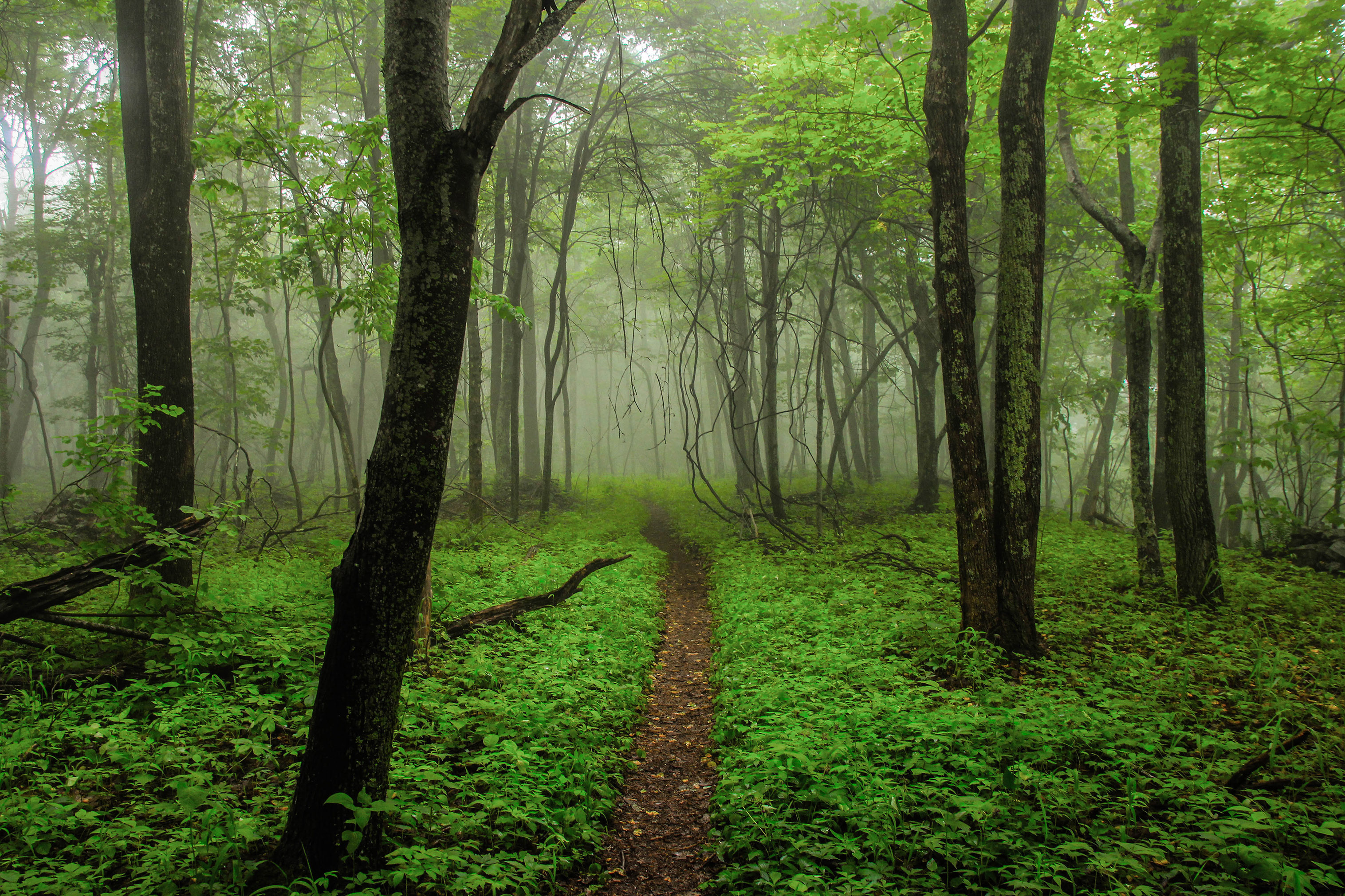
'The Green Tunnel' on the Appalachian Trail, Virginia.
Photo Credit: © Andrew Forestell/TNC Photo Contest 2018
April 18, 2022
Application Scale
Digital spatial data is indeed a new world. There are new benefits, new concepts and new capabilities. But there are also “old” concepts with new interpretations or new issues, such as “application scale”. Perhaps the concept is unfamiliar under that name, so what does it mean? I define application scale as the minimum size area the data creators tried to represent with enough fidelity to be usable for a specific application as delivered, out-of-the-box. To be clear, application scale is NOT about the amount of detail, the spatial resolution or minimum mapping unit of the product. Application scale is about drilling down/zooming in. How far can you go and expect the product to be useful to you? Is it 1 pixel, 1000 pixels, 10 acres or 100 acres?
Many, many factors impact the application scale of a spatial data set. For example, the processes and input sources used to create the product, the
characteristics of the area being mapped AND importantly, the requirements of the
specific application. The appropriate geography on which to apply digital data is invisible to users unless it is described separately in a product description or in the metadata.
I’ll illustrate the concept of application scale using the LANDFIRE program. LANDFIRE is a fundamental data source for fire and natural resource management organizations and is required by Charter to produce and regularly update a suite of spatial data layers for ALL of the United States (Continental, Hawai’i, Alaska and Insular Island Territories). Further, the Charter requires that input sources and production processes be as consistent as possible across all these geographies. Since LANDFIRE can be applied in all these geographies in diverse ways, how do we provide guidance to the user community on how to utilize them appropriately? What is the
application scale of LANDFIRE program products?
LANDFIRE Application Scale
The LANDFIRE Program states that their products have a large landscape, regional, national application scale, but what does that mean? That does not mean you can obtain a chunk of data for a large geography and then zoom in and focus on specific small areas within that geography and assume that LANDFIRE products will faithfully represent those small areas well enough to utilize out-of-the-box. It does mean that when you examine or summarize LANDFIRE data for that landscape as-a-whole it should represent the overall landscape faithfully enough to compare it to other landscapes or use it to plan or analyze the entire landscape.
You might understandably ask how could data that is usable for larger areas be based on information that may not be usable on smaller areas within that landscape. There are several reasons, for example, mapping errors or artifacts found in a particular small area may be restricted to that area. Ineffective mapping results in smaller areas could be “washed-out” or overwhelmed by results in other areas. Remember that digital mapping is a mathematical/statistical process so sample size, the Law of Large Numbers, etc. all apply to at least some extent. An imperfect analogy is a presidential poll. Election results for a state may match the poll quite closely but be very different from the election results in an individual census block within that state if the poll was designed and implemented to represent state-wide results. The process was designed to be useful at the state level, not the census block. As you reduce the area of analysis, errors or unusual results are more significant relative to the size of the area of interest and may make that data less useful for that location and application.
Getting to the Point
So, how big is a landscape to LANDFIRE? The short and only real answer is that it depends…. where are you and what are you trying to accomplish? Mapping Dry Prairies in Florida is not the same as mapping in Central Tallgrass prairies in Kansas. A landscape in Arizona is probably very different in size and characteristics than a landscape in West Virginia. Which LANDFIRE product are you using? What level of thematic resolution do you really need in your application? As a starting point with no background information, I usually begin visually examining about 200,000 acres (approximately 1,000,000 30-meter pixels) and if it looks usable begin reviewing smaller and smaller areas in sequential steps to see when I think the data errors/odd results may begin to impact a typical application.
Responsibilities
This is not just about LANDFIRE. EVERY data set has an application scale, but LANDFIRE is a useful illustration of the concept. There is no single answer to what is meant by large landscape to LANDFIRE. A user should always expect to explore the data for themselves and make their own decision. Is the data usable for the area of interest to me? Would it be easier to build my own data or to modify LANDFIRE or some other data set? Don’t trust me, or anyone else to make the decision for you about data applicability. My responsibility is to tell you all I know about what LANDFIRE delivers. e.g., data sources, development processes, data characteristics, and data quality information. Your responsibility as the potential user of the data is to explore the product of interest, understand what you need, and then decide how to proceed.
Jim Smith, TNC LANDFIRE Program Lead, Jacksonville, FL | jim_smith@tnc.org
Jim’s background in project management, spatial accuracy, detecting and predicting spatiotemporal uncertainty, biometrics and modeling prepared him well to successfully lead TNC’s varied, dynamic and diverse LANDFIRE Team since 2004.